
CloudCompare
Explore our comprehensive review of CloudCompare, the leading open-source 3D point cloud processing software designed for Linux users.
An In-Depth Look at CloudCompare 3D Point Cloud Processing Software
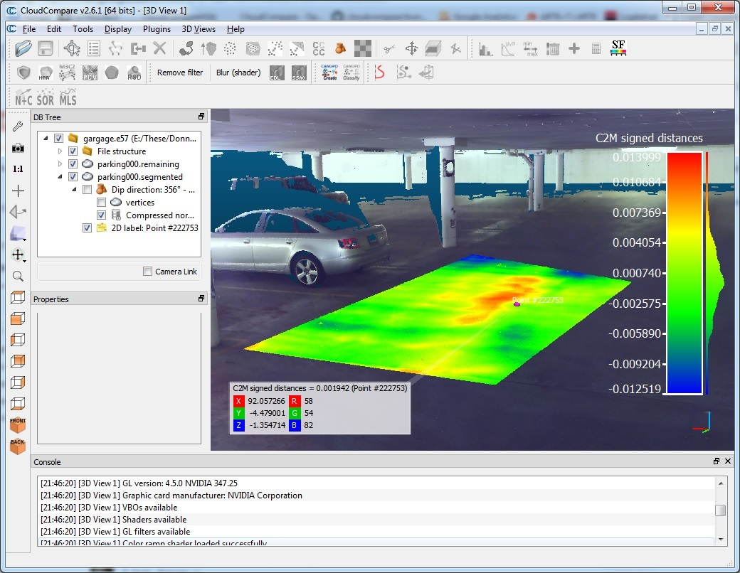
CloudCompare 3D point cloud processing software has established itself as an indispensable tool for geospatial professionals, 3D modelers, and researchers. Originally developed through a collaboration between EDF R&D and TELECOM ParisTech (ENST-TSI), this robust Linux-compatible application was built with a highly specific primary purpose: to perform precise geometric comparisons between two dense 3D point clouds or between a point cloud and a triangular mesh. By utilizing a highly optimized octree structure, it handles massive datasets with remarkable speed and precision.
Who Benefits Most from CloudCompare?
This software is tailored specifically for engineers, surveyors, and GIS specialists who work extensively with LiDAR, laser scanning, and photogrammetry data. If your workflow involves analyzing structural changes, measuring environmental shifts, or validating 3D scans against CAD models, the advanced comparison algorithms of this utility will save you hours of manual computation.
Key Features and Core Capabilities
While it began as a specialized comparison utility, CloudCompare has matured into a comprehensive suite for spatial data manipulation. Its feature set includes:
- Advanced Registration: Align multiple 3D datasets using fine-tuning algorithms.
- Resampling and Segmentation: Clean up noisy data manually or utilize automatic segmenting to isolate specific structures.
- Scalar Fields and Statistics: Manage color, normals, and scalar fields while calculating complex spatial statistics.
- Sensor Management: Track and manage the simulated or actual physical sensors used to capture spatial coordinates.
Streamlined Spatial Analysis on Linux
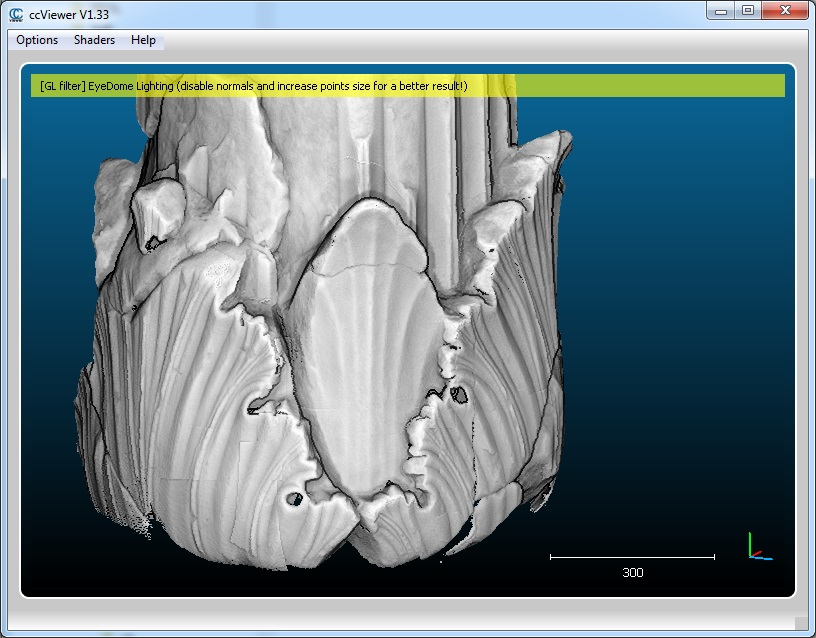
As a native design application on Linux, CloudCompare takes full advantage of system resources to render and process millions of points smoothly. The interface focuses on high-performance visualization, offering advanced display enhancement tools that help users detect subtle surface deviations and structural anomalies that might otherwise go unnoticed in standard CAD software.
Should You Integrate It Into Your Workflow?
If you require a specialized, non-commercial tool capable of handling dense spatial datasets without licensing bottlenecks, this application is an excellent choice. To integrate this powerful utility into your design and analysis toolkit, head over to the official Flathub store page to explore installation options for your Linux distribution.